Itineraries and trekking
Hike along the mule tracks of Diano Castello
April 15, 2021
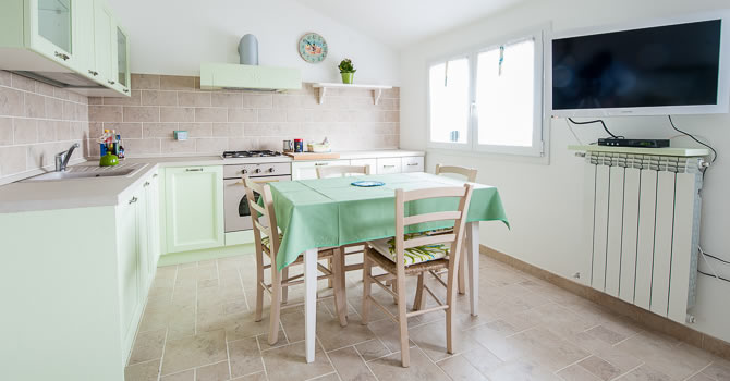
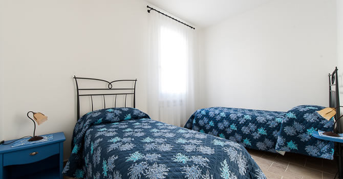
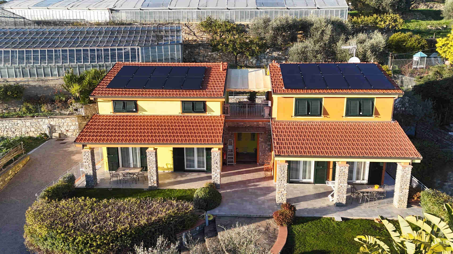
Hiking is our passion. How could we advise those staying in the flats of our farmholidays where to go, if we didn't know the territory? That's why we like to walk along the less frequented roads to discover new views and offer unforgettable experiences to our guests!
The walk we are describing today, in particular, will take us along the mule tracks that link the municipality of Diano Castello with the other towns and villages of the Gulf of Diano . In this route we will therefore take those ancient roads that surround the town, coming out from various parts of the village and offering us unusual perspectives!

Start of the route
We find ourselves near the roundabout before Diano Castello, where the roads leading to Diano Marina, Diano Arentino and where we also find the one that interests us, namely the walk called "a Scursa, the old town and its olive groves".

This will be the start of our uphill excursion which also branches off into other external routes:
- Au Castellu, ancient mule track
- A Besusta, ancient mule track (we will do it on the way back)

Following this road, after a few hundred meters, you arrive at the beginning of Diano Castello, just in front of the Logge where the Tourist Information Office (IAT) is located.

Read also - Giroborgo in Diano Castello: visit and guided tour
From Diano Castello to Diano San Pietro following the mule tracks
We walk through the streets of the village of Diano Castello, until we find the indications of the path of our interest and the descent on the path, called "a Muntà", which leads at the same time to the Fontana del Melo and to Diano San Pietro.

We decide to continue towards the descent that leads us to the fountain of which we have already told you in the article on the Park of Ciapà. Here we stop to enjoy the landscape and, after a few minutes, we continue in the direction of Diano San Pietro.
A short video that allows us to observe in detail the ancient Fontana del Melo

At the end of this path we continue towards the asphalted road which will take us to the centre of the village, at the bridge over the river Evigno.

Right in front of us, marvellous and dazzling, stands the parish church of San Pietro. Now there are two possibilities: follow the left bank of the river towards Cervo, or continue towards the provincial road 56, which from the municipality of San Bartolomeo al Mare arrives at Villa Faraldi and its hamlets.

We decide for this last option. We continue straight ahead, paying attention to the cars, since this is a fast-flowing road, and finally we find the sign "a Besusta, antica mulattiera" (an ancient mule track), which we have already encountered during the first ascent to Diano Castello.
Characterized by a considerable difference in height that makes the route not very easy, also due to the presence of boulders and stones, this road climbs towards the village and allows us to reconnect to the road "a Scursa" seen at the beginning. Having walked the entire length of the mule track, we now descend towards our starting point.
Read also - Cervo: discovering one of the most beautiful villages in Italy
For the return journey there are also some variants, such as the roads that cross the municipality of Diano Castello, near the Convent of the Poor Clares. Through these roads it is possible to reach both the hamlet of Varcavello and the provincial road that goes up towards Diano Arentino and its hamlets.

Useful suggestions
Hiking time: about 1h 30'
Trail length: about 4 km
Clothing: depends on the season, but definitely comfortable and not heavy; trekking shoes
Difficulty: minimal, with steep, downhill mule tracks to pay particular attention to
It is advisable to bring several water bottles and a quick snack. Pay attention to the uneven ground along the descent towards the Fontana del Melo, and to the "a Besusta" mule track, where the road, with a significant difference in height, has boulders and stones.
Listen to all podcasts published on our official channels: