Itineraries and trekking
Hiking Pizzo d'Evigno: an easy and scenic trek
September 21, 2022
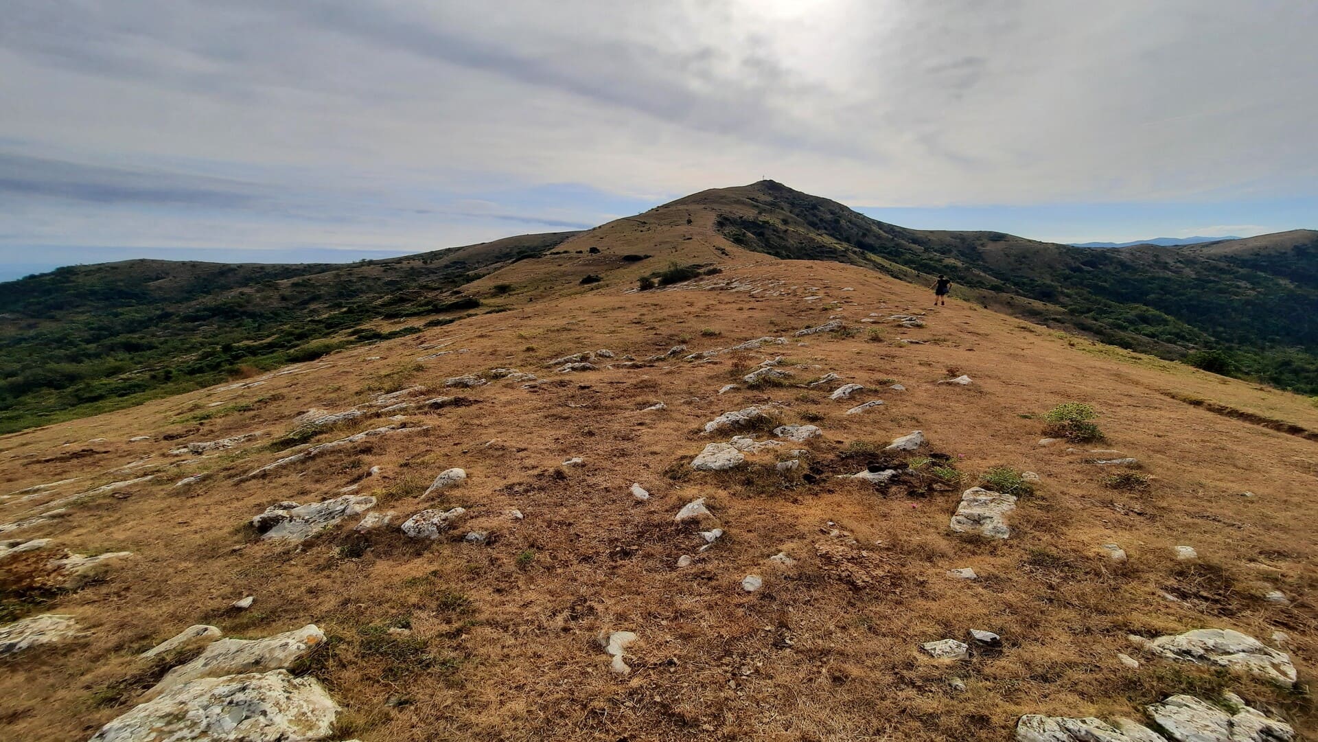
The excursion to Pizzo d'Evigno is undoubtedly one of the most suggestive treks in the Imperia area. Located at an altitude of 988 metres, this scenic, grass-covered pyramidal peak represents the meeting point between the provinces of Savona and Imperia, offering panoramic views of Diano Marina, Imperia, Testico and the Val Merula.
There are several paths leading to Pizzo d'Evigno: the one we are proposing today is a fairly easy trek starting from the village of Evigno, in the municipality of Diano Arentino.
Trekking to Pizzo d'Evigno: useful information
Starting from the village of Evigno, it is possible to follow a fairly easy route, of difficulty E, which allows you to reach Pizzo d'Evigno with a walk of about 4 hours (3 hours to climb and admire the view and 1 hour to descend) for an approximate height difference of 600 metres.
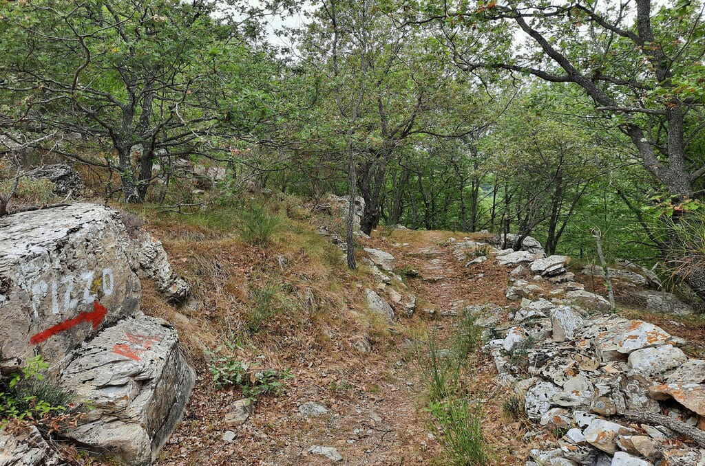
The path is clearly visible and marked with red and white markers, leading all the way to the summit.
This path is ideal to walk, especially in summer, as it winds for a good part inside the forest.
A short stretch of path through dense forest
On the contrary, in the autumn and winter periods, it may be more suitable to take the paths exposed to the sun that pass through Colla di Diano San Pietro or Tovo Faraldi.
Alternatively, you can take the path from the Ciapà Park near Cervo and the Salto nel Blu MTB routes.
It is recommended, as always, to wear suitable clothing and possibly trekking shoes.
Trekking poles can be very useful, or a walking stick, which is easily available along the route. Do not forget to take along sufficient water and, if you wish, a snack.
How to get to Evigno and where to park
Starting from the Agriturismo Le Girandole in Diano Marina, it is possible to reach Diano Evigno in only 20 minutes by car, driving about 10 km.
Initially, follow provincial road 36 to Diano Roncagli, then take provincial road 90 from Diano Roncagli, located in the municipality of Diano Arentino.
You can park your car in the village, in the small square in front of the church of San Bernardo.
Excursion to Pizzo d'Evigno: itinerary
The excursion to Pizzo d'Evigno begins from the small square in front of the church of San Bernardo, in the village of Evigno.
Following the wide asphalted road uphill, one immediately heads in the direction of the Church of San Martino, whose original construction dates back to the 12th/13th century. On the portal you can read an invitation to prayer 'O devotees who in this street pass a salve regina recitate'.

The entrance to the path
Near the Church of San Martino is the start of the path to Pizzo d'Evigno: a signpost indicates a distance of 2700 metres to reach the summit.
The path is included in a 62,000 euros redevelopment project promoted by the municipality of Diano Arentino, the purpose of which is to improve the viability of the mule tracks both for hiking purposes and to help olive growers in the area.
There are several paths to get to the ridge (for example, there is a path from the Colla di Diano San pietro marked with yellow-red signs): in this case, we will have to follow the white-red signs. The route winds initially through the forest, sheltering from the hot summer sun.
The boxes and snowfields
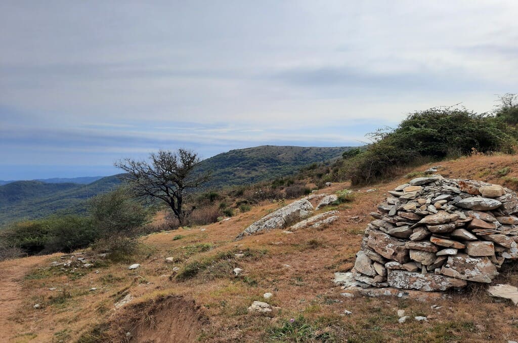
Characteristic of the route is the presence of caselle and neviere. The former, typical of the Ligurian hinterland, are built of dry-stone and circular in shape.
In ancient times they were used for harvesting hay, but also as temporary storage for tools in hill or high-altitude farming. They were often used as shelter by shepherds or farmers for shelter in case of rain.

Snowboxes are artificial wells used during the period of the Little Ice Age, from 1300 to 1850, for storing snow. In the past, they were equipped with a drainage channel to channel the water that melted during the summer period.
During the winter, the snow was stored and pressed into these wells, which were thermally insulated by a thick layer of leaves. The snow was then broken into blocks and transported by mule or wagon to the urban centres, which were the main consumers. The ice, in particular, was distributed to local shops and the hospital of Oneglia, once a separate municipality and later merged with the municipality of Imperia.
In ancient times, the ice industry in Genoa, and in Liguria in general, was very important. In fact, in the capital it was possible to find stapole, or spacci, i.e. warehouses run by so-called stapolanti in which ice was traded.
Many of the 'neviere' in this area are now collapsed and filled with stones, making them difficult to identify and distinguish from the 'caselle'. They can be recognised by the fact that they do not have an entrance cavern, unlike the boxes.
The ridge and summit of Pizzo d'Evigno
Continuing uphill, one gradually emerges from the forest and reaches Pizzo d'Evigno, where the panorama opens up with wide views of the coast and valleys. The last 150 metres of the ascent are rather steep. We recommend that you memorise the point from which you are ascending so that you can easily find your way back.
Last part of the ascent before reaching the summit of Pizzo D'Evigno
On the summit there is a cross and a statue of the Madonna with her face pointing southwards towards the sea, as well as a truly breathtaking panorama. On the summit there are also two plaques left by the Alpine soldiers over the past 35 years.
With one's back to the mountain, from left to right, it is possible to admire the coast from Varigotti (discover the excursion from Noli to Varigotti along the Sentiero del Pellegrino) to Albenga, the island of Gallinara (also visible when travelling along the Via Julia Augusta from Albenga to Alassio), the Val Merula and the entire Gulf of Diano, and in particular Diano Marina. On the right, in a westerly direction, it is possible to see the Impero Valley.

The descent towards Evigno
The descent is certainly faster than the ascent. Remember to take care to memorise fixed points as you ascend to the summit, so that you can easily find your way back. Many paths converge on the ridge and it could happen that you initially take a wrong turn. We used the lowest point of the ridge between the Diano valley and the Merula valley as a reference point, descending to the right. Once you have found the correct path, just follow it back to the hamlet of Evigno.
Listen to all podcasts published on our official channels:
